Use Cases for Multispectral Imaging Services
- Agriculture and Crop Monitoring
- Assess crop health by detecting stress, nutrient deficiencies, or pest infestations.
- Optimize irrigation and fertilization strategies using vegetation indices like NDVI (Normalized Difference Vegetation Index).
- Monitor growth stages and predict yields.
- Surveying and Terrain Mapping
- Generate detailed terrain models for infrastructure development, urban planning, and land management.
- Identify and classify soil types, vegetation cover, and water bodies for resource allocation.
- Map changes in topography caused by erosion, landslides, or construction activities.
- Environmental Monitoring and Conservation
- Detect changes in ecosystems, such as deforestation, desertification, or water body pollution.
- Map and monitor biodiversity by identifying vegetation types and animal habitats.
- Track the effects of climate change on landscapes and natural resources.
Call (707) 720-3725 for a free quote.
Advantages of Agricultural Drone Spraying Services *
-
Precision and Efficiency
Agricultural drones provide precise application of pesticides, fertilizers, and other agrochemicals. This targeted approach minimizes waste, ensures uniform coverage, and enhances crop health while reducing environmental impact. -
Cost-Effective Solution
Drones reduce labor and operational costs associated with traditional methods, such as manual spraying or tractor-mounted sprayers. They are especially useful for small-scale and medium-sized farms, offering an affordable alternative to large-scale equipment. -
Accessibility to Difficult Terrain
Drones can easily access areas that are challenging or unsafe for traditional machinery, such as steep slopes, wet fields, or dense plantations. This makes them ideal for vineyards, orchards, and hilly terrains. -
Time-Saving
Drones operate at higher speeds compared to manual or vehicle-based methods, covering large areas in significantly less time. This quick deployment is especially valuable during critical periods, like pest outbreaks. -
Reduced Chemical Usage
By optimizing spray patterns and avoiding overlaps, drones reduce the quantity of chemicals needed. This helps lower production costs and reduces chemical residues on crops, promoting sustainability. -
Minimal Soil Compaction
Unlike heavy machinery, drones do not disturb the soil structure or compact it, preserving its health and fertility. -
Data Integration and Analysis
Many agricultural drones are equipped with sensors and cameras that provide real-time data on crop health, soil conditions, and pest infestations. This information enables farmers to make informed decisions and integrate spraying with broader precision agriculture strategies. -
Environmentally Friendly
Drones minimize the drift of chemicals into unintended areas, protecting nearby ecosystems, water sources, and non-target species. -
Scalability
Agricultural drone spraying can be scaled for farms of various sizes. Small farms benefit from affordability and flexibility, while larger farms appreciate the speed and coverage. -
Worker Safety
By reducing the need for manual handling of chemicals in the field, drones enhance worker safety by minimizing exposure to harmful substances and hazardous conditions.
These advantages collectively contribute to increased agricultural productivity, cost savings, and environmental sustainability, making drone spraying services an increasingly popular choice for modern farming practices.
* Drone product only
Call (707) 720-3725 for a free quote.
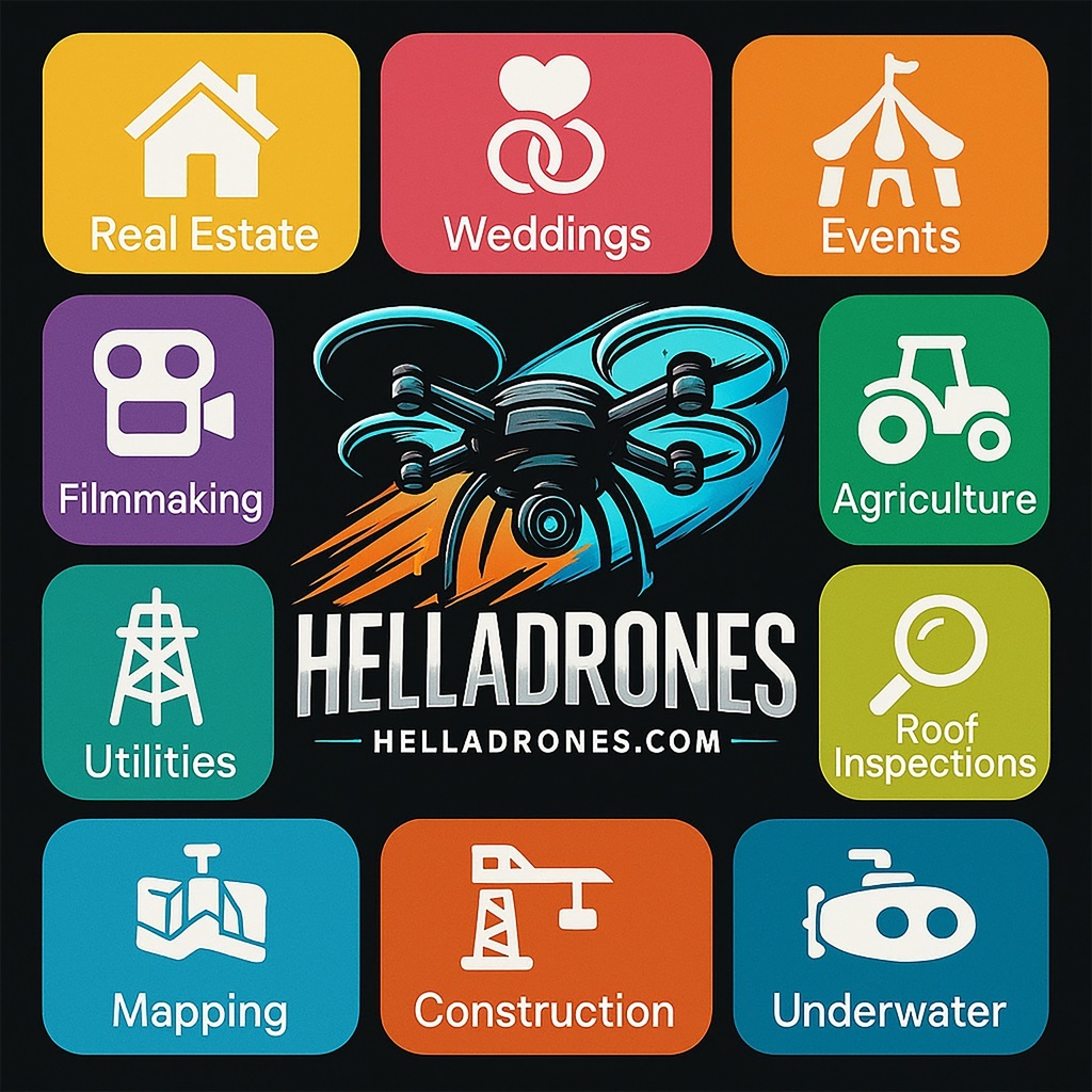
Drone aerial footage offers a wide range of use cases.
1. Real Estate
- Capturing aerial views of properties for listings.
- Showcasing large estates, commercial buildings, or land parcels.
- Highlighting nearby amenities, landscapes, and surroundings.
2. Construction and Infrastructure
- Monitoring construction progress over time.
- Inspecting hard-to-reach areas such as roofs, bridges, and towers.
- Generating 3D models or topographical maps for planning and analysis.
3. Media and Entertainment
- Filming dynamic shots for movies, TV shows, and music videos.
- Capturing sports events or live performances from unique perspectives.
- Documenting travel destinations for tourism marketing.
4. Agriculture
- Surveying crops and monitoring health through multispectral imaging.
- Identifying irrigation issues or pest infestations.
- Optimizing planting and harvesting schedules using aerial data.
5. Environmental Monitoring
- Assessing wildlife populations or habitats.
- Monitoring deforestation or illegal logging activities.
- Tracking natural disasters and recovery efforts, such as flooding or wildfires.
6. Search and Rescue
- Locating missing persons in remote or rugged terrain.
- Delivering supplies or communication devices to hard-to-reach areas.
- Providing real-time footage to guide rescue operations.
7. Surveying and Mapping
- Creating high-resolution topographic maps for urban planning.
- Surveying archaeological sites without disturbing the area.
- Conducting geospatial analysis for research and development.
8. Energy Sector
- Inspecting wind turbines, solar panels, and power lines.
- Monitoring pipelines for leaks or damages.
- Surveying offshore platforms or oil rigs.
9. Law Enforcement and Security
- Surveillance of large-scale events to ensure safety.
- Monitoring crime scenes or tracking suspects.
- Enhancing border security with aerial patrolling.
10. Tourism and Hospitality
- Promoting resorts, hotels, and destinations with stunning visuals.
- Capturing aerial footage of natural attractions and landmarks.
- Documenting adventure activities like hiking, diving, or skiing.
11. Education and Research
- Documenting environmental changes for scientific studies.
- Providing students with an aerial view of geographic features.
- Using drones to demonstrate engineering or robotics concepts.
12. Advertising and Marketing
- Creating visually compelling content for social media campaigns.
- Producing promotional videos for products, services, or events.
- Capturing unique perspectives for branding purposes.
13. Event Documentation
- Filming weddings, festivals, or corporate events.
- Capturing large-scale gatherings or parades from above.
- Providing dynamic perspectives for event recap videos.
14. Military and Defense
- Reconnaissance and surveillance in conflict zones.
- Mapping enemy positions or terrain for tactical planning.
- Monitoring border activities for national security.
15. Insurance and Claims
- Inspecting properties for damage assessment after disasters.
- Documenting evidence for insurance claims.
- Conducting risk assessments for underwriting purposes.
DJI Fly Cart
The DJI Fly Cart is designed for transporting goods via drones, offers several advantages that make it a versatile and innovative solution for various industries.
1. Increased Efficiency
- Faster Deliveries: Enables quick transportation of items, bypassing traffic or terrain obstacles.
- Automated Operations: Reduces manual labor with autonomous navigation and scheduling capabilities.
2. Cost Savings
- Reduced Transportation Costs: Cuts fuel and vehicle maintenance expenses compared to traditional delivery methods.
- Labor Reduction: Minimizes the need for personnel in logistics, especially for last-mile delivery.
3. Environmentally Friendly
- Low Carbon Footprint: Powered by electric motors, it produces less environmental impact than conventional vehicles.
- Energy Efficiency: Designed for optimal performance with minimal energy consumption.
4. Accessibility
- Remote Areas: Reaches locations that are difficult for traditional vehicles to access, such as mountainous or rural regions.
- Disaster Zones: Can deliver supplies to areas impacted by natural disasters where infrastructure is compromised.
5. Precision and Reliability
- GPS Integration: Provides precise navigation to specified locations.
- Payload Stability: Securely transports items without damage, even during turbulent conditions.
- Advanced Sensors: Ensures obstacle avoidance and smooth operations.
6. Versatility
- Diverse Payloads: Accommodates a range of goods, from lightweight packages to more substantial loads, depending on the drone model.
- Multiple Industries: Useful for healthcare, retail, agriculture, and emergency response.
7. Enhanced Safety
- Risk Reduction: Minimizes human involvement in potentially hazardous delivery routes.
- Remote Monitoring: Operators can oversee operations from a safe distance using advanced tracking systems.
8. Scalability
- Flexible Deployment: Easily scaled for larger operations or increased delivery volumes.
- Fleet Management: Multiple drones can be coordinated for extensive logistics networks.
9. Cutting-Edge Technology
- AI Integration: Uses artificial intelligence for route optimization and obstacle detection.
- Real-Time Data: Provides live updates on delivery status and drone performance.
10. Customizability
- Modular Design: Features adaptable components to suit specific tasks or payload requirements.
- Branding Opportunities: Companies can customize the drone’s appearance to align with their brand identity.
DJI M30 (Matrice 30) - Highly Versatile and Compact
1. Compact and Portable Design
- Foldable and Lightweight: Combines portability with robust capabilities, making it easy to transport and deploy quickly.
- Integrated Payloads: Eliminates the need for external payloads, reducing setup time.
2. Advanced Imaging System
- Multiple Cameras in One: Includes a 48 MP zoom camera, a 12 MP wide-angle camera, a laser rangefinder, and a thermal camera (in the M30T model).
- High-Quality Zoom: Offers up to 200x hybrid zoom for detailed inspections and distant object identification.
- Thermal Imaging (M30T): Ideal for night operations, firefighting, or search and rescue missions.
3. Weather Resistance
- IP55 Rating: Operates effectively in challenging weather conditions such as rain, dust, or extreme temperatures (-20°C to 50°C).
- Rugged Build: Designed for durability, suitable for industrial environments.
4. Extended Flight Capabilities
- Improved Battery Life: Provides up to 41 minutes of flight time, depending on conditions.
- Hot-Swappable Batteries: Minimizes downtime by allowing quick battery changes without powering off the drone.
5. Safety and Redundancy
- Obstacle Avoidance: Equipped with six-way obstacle detection and avoidance for safe navigation.
- Redundant Systems: Includes dual IMUs, dual barometers, and dual compasses for reliability in critical operations.
- Emergency Features: Safe landing and return-to-home functions enhance operational safety.
6. Seamless Integration with DJI Ecosystem
- DJI Pilot 2 Software: User-friendly interface for mission planning, flight control, and data visualization.
- DJI Dock Compatibility: Supports autonomous operations via the DJI Dock for remote or scheduled missions.
- Cloud-Based Management: Compatible with DJI FlightHub 2 for fleet management and real-time mission tracking.
7. Versatility Across Applications
- Inspections: Ideal for inspecting power lines, wind turbines, solar panels, and bridges.
- Public Safety: Used in firefighting, search and rescue, and law enforcement for rapid response.
- Surveying and Mapping: Capable of generating high-resolution maps and 3D models.
- Environmental Monitoring: Effective for wildlife tracking, forest management, and disaster assessment.
8. Precision and Range
- Laser Rangefinder: Measures distances up to 1,200 meters with high accuracy.
- Stable in High Winds: Performs well in winds up to 15 m/s (33 mph), ensuring stable data collection.
9. Quick Deployment
- Fast Startup Time: Ready for operation within minutes, making it ideal for time-sensitive missions.
- Integrated Features: No need for extensive setup or payload installation.
10. Intelligent Features
- Waypoint Missions: Allows for pre-programmed flight paths.
- Smart Track: Automatically locks onto and tracks moving subjects.
- PinPoint: Identifies and shares object coordinates in real time.
The DJI M30 offers a perfect balance of portability, durability, and advanced technology, making it a top choice for professionals across multiple industries. Its versatility, ease of use, and robust features set it apart as a high-performance drone for industrial and public safety applications.