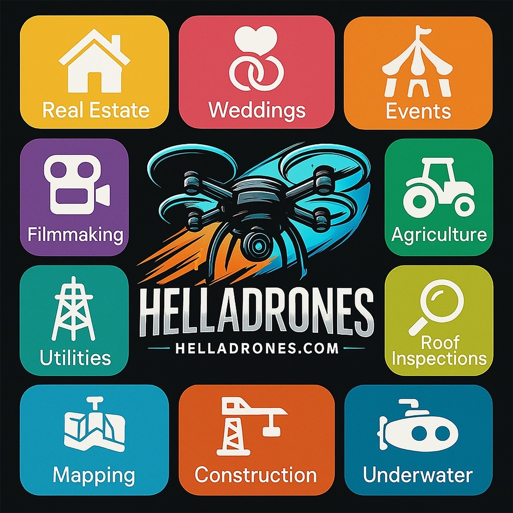
Drone aerial footage offers a wide range of use cases.
1. Real Estate
- Capturing aerial views of properties for listings.
- Showcasing large estates, commercial buildings, or land parcels.
- Highlighting nearby amenities, landscapes, and surroundings.
2. Construction and Infrastructure
- Monitoring construction progress over time.
- Inspecting hard-to-reach areas such as roofs, bridges, and towers.
- Generating 3D models or topographical maps for planning and analysis.
3. Media and Entertainment
- Filming dynamic shots for movies, TV shows, and music videos.
- Capturing sports events or live performances from unique perspectives.
- Documenting travel destinations for tourism marketing.
4. Agriculture
- Surveying crops and monitoring health through multi-spectral imaging.
- Identifying irrigation issues or pest infestations.
- Optimizing planting and harvesting schedules using aerial data.
5. Environmental Monitoring
- Assessing wildlife populations or habitats.
- Monitoring deforestation or illegal logging activities.
- Tracking natural disasters and recovery efforts, such as flooding or wildfires.
6. Search and Rescue
- Locating missing persons in remote or rugged terrain.
- Delivering supplies or communication devices to hard-to-reach areas.
- Providing real-time footage to guide rescue operations.
7. Surveying and Mapping
- Creating high-resolution topographic maps for urban planning.
- Surveying archaeological sites without disturbing the area.
- Conducting geo-spatial analysis for research and development.
8. Energy Sector
- Inspecting wind turbines, solar panels, and power lines.
- Monitoring pipelines for leaks or damages.
- Surveying offshore platforms or oil rigs.
9. Law Enforcement and Security
- Surveillance of large-scale events to ensure safety.
- Monitoring crime scenes or tracking suspects.
- Enhancing border security with aerial patrolling.
10. Tourism and Hospitality
- Promoting resorts, hotels, and destinations with stunning visuals.
- Capturing aerial footage of natural attractions and landmarks.
- Documenting adventure activities like hiking, diving, or skiing.
11. Education and Research
- Documenting environmental changes for scientific studies.
- Providing students with an aerial view of geographic features.
- Using drones to demonstrate engineering or robotics concepts.
12. Advertising and Marketing
- Creating visually compelling content for social media campaigns.
- Producing promotional videos for products, services, or events.
- Capturing unique perspectives for branding purposes.
13. Event Documentation
- Filming weddings, festivals, or corporate events.
- Capturing large-scale gatherings or parades from above.
- Providing dynamic perspectives for event recap videos.
14. Military and Defense
- Reconnaissance and surveillance in conflict zones.
- Mapping enemy positions or terrain for tactical planning.
- Monitoring border activities for national security.
15. Insurance and Claims
- Inspecting properties for damage assessment after disasters.
- Documenting evidence for insurance claims.
- Conducting risk assessments for underwriting purposes.
1. General Pricing
- Per Hour: Starting at $75/hour, depending on the complexity of the job and the type of drone/equipment used.
- Per Project: $300 and up/project, depending on deliverables (e.g., aerial photography, 3D mapping, inspections, marketing content).
- Monthly Retainers: Starting at $2,000/month for ongoing projects where consistent data collection and progress monitoring are required.
2. Service-Specific Pricing
- Aerial Photography and Videography: Starting at $100 per session (depending on the size of the site and the complexity of shots).
- 3D Mapping and Site Surveys: Starting at $1,000 per project for detailed topographic surveys or 3D models.
- Progress Monitoring: Starting at $100 per visit for recurring visits (discounts may apply for long-term contracts).
- Marketing Content: Starting at $500 for fully edited videos and high-resolution photos.
- Environmental and Compliance Monitoring: Starting at $1,500 depending on the scope of environmental assessments.
3. Factors Affecting Your Pricing
- Location: Urban markets often demand higher rates than rural areas due to competition and higher costs of doing business.
- Project Size: Large-scale developments covering multiple acres require more time and resources.
- Equipment and Software: High-end drones, advanced mapping software, and LiDAR technology will allow you to charge more.
- Turnaround Time: Expedited services may warrant premium fees.
- Experience and Reputation: Established providers with proven expertise in real estate can command higher rates.
