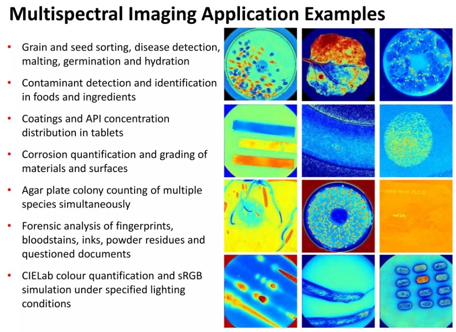
Use Cases for Multispectral Imaging Services
- Agriculture and Crop Monitoring
- Assess crop health by detecting stress, nutrient deficiencies, or pest infestations.
- Optimize irrigation and fertilization strategies using vegetation indices like NDVI (Normalized Difference Vegetation Index).
- Monitor growth stages and predict yields.
- Surveying and Terrain Mapping
- Generate detailed terrain models for infrastructure development, urban planning, and land management.
- Identify and classify soil types, vegetation cover, and water bodies for resource allocation.
- Map changes in topography caused by erosion, landslides, or construction activities.
- Environmental Monitoring and Conservation
- Detect changes in ecosystems, such as deforestation, desertification, or water body pollution.
- Map and monitor biodiversity by identifying vegetation types and animal habitats.
- Track the effects of climate change on landscapes and natural resources.
Call (707) 720-3725 for a free quote.

