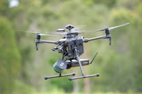
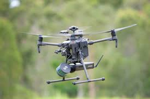
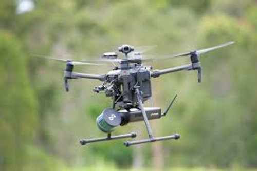
The Emesent Hovermap with Autonomy Level 2 (AL2) Silver is an advanced LiDAR mapping and autonomy payload designed to enhance drone operations in challenging, GPS-denied environments. Building upon the capabilities of Autonomy Level 1 (AL1), AL2 introduces advanced features that enable fully autonomous beyond visual line of sight (BVLOS) flights, making it ideal for applications such as mining, infrastructure inspection, and search and rescue missions.
Key Specifications:
- LiDAR Range: 0.40 to 100 meters (1.3 to 330 feet)
- Mapping Accuracy:
- ±20 mm (3/4 inch) in general environments
- ±15 mm (19/32 inch) in typical indoor and underground settings
- LiDAR Data Acquisition Speed: Up to 300,000 points per second
- Field of View: 360° x 360°
- Weight: 1.8 kg (3.97 lbs)
- Operating Temperature: 0 to 50°C (32 to 122°F)
- Power Input: 12–50V, compatible with various battery and auxiliary power sources
Autonomy Level 2 (AL2) Features:
- Beyond Visual Line of Sight (BVLOS) Flight: Enables drones to fly autonomously beyond the operator's line of sight, navigating complex environments without GPS.
- Waypoint Navigation: Allows for pre-programmed flight paths using 2D, 3D, planar, and height waypoints, facilitating precise mission planning.
- Guided Exploration: Utilizes local and global path planning to autonomously explore and map unknown areas.
- Advanced Failsafes: Incorporates intelligent Return-to-Home and obstacle avoidance mechanisms to ensure safe operation in challenging conditions.
Deployment Options:
- Versatility: Easily switch between drone-mounted, handheld, backpack, vehicle, or ground robot configurations to suit various data capture needs.
- Compatibility: Seamlessly integrates with drones such as the DJI M210, M300, and M600 series, as well as other platforms.
The Hovermap AL2's advanced SLAM-based LiDAR technology ensures high-resolution, real-time 3D mapping, enhancing operational efficiency and safety across various industries.


